Cardiff, Swansea and the Valleys (Philip's Street Atlases)
2 Members (3.00)
On This Page
Description
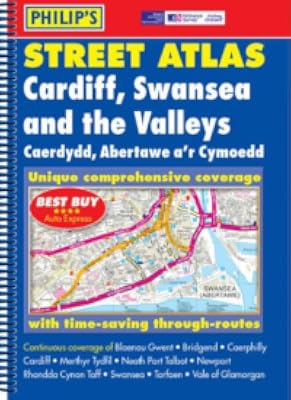
A fully revised new edition of this successful colour atlas of Cardiff, Swansea & the Valleys, giving the most comprehensive and detailed coverage of the region, with many features named in both English and Welsh. No other atlas names every street in Cardiff, Swansea & the Valleys.The mapping is based on Ordnance Survey data and gives the user complete coverage of all urban and rural areas. The mapping is at a scale of 3 1/2 inches to 1 mile (2 2/3 inches to 1 mile in the pocket edition). show more The mapping is also complete with postcode boundaries.The atlas is ideally suited for both business and leisure use. There is a route-planning map at the front of the atlas. The main maps show every named road, street and lane clearly with through-routes highlighted in urban areas. School locations are marked and emergency services, hospitals, police stations, car parks and rail and bus station locations are all featured. There is a comprehensive dual language index of street names and postcodes including schools, industrial estates, hospitals, sports centres, etc. These are highlighted in red.Main map scale: 3.5 inches to 1 mile show lessTags
Member Reviews
Members
- Recently Added By
Common Knowledge
- Important places
- Cardiff, Wales, UK; Swansea, Wales, UK
Classifications
Statistics
- Members
- 2
- Popularity
- 6,032,049
- Rating
- (3.00)
- Languages
- English
- Media
- Paper
- ISBNs
- 1