LC Classification G4004
⮑ G3180-9980. Maps
⮑ G3290-9880. By region or country
⮑ G3290-5667. America. Western Hemisphere
⮑ G3300-5184. North America
⮑ G3700-4384. United States
Selected Works (3,253 total)
500 items


![The Territorial Growth of the United States - 1987 [map]](https://pics.cdn.librarything.com/picsizes/89/26/8926552-b-h200-w100-pv25_596c67316941426b414d6741_v5.jpg)

![Rediscovering Hawaii - 1995 [map]](https://pics.cdn.librarything.com/picsizes/83/12/8312658-b-h200-w100-pv25_596c4c586667426b414d6741_v5.jpg)


![Federal Lands in the Fifty States / United States, The Physical Landscape - 1996 [map]](https://pics.cdn.librarything.com/picsizes/89/30/8930792-b-h200-w100-pv25_597568466941426b414d6741_v5.jpg)


![Heart of the Rockies [and] Above the Rockies Through Digital Eyes - 1995 [map]](https://pics.cdn.librarything.com/picsizes/89/30/8930763-b-h200-w100-pv25_597374466941426b414d6741_v5.jpg)
![Native American Heritage: A Visitors Guide - 1991 [map]](https://pics.cdn.librarything.com/picsizes/89/30/8930742-b-h200-w100-pv25_59725a466941426b414d6741_v5.jpg)

![Alaska - 1994 [map]](https://pics.cdn.librarything.com/picsizes/11/72/11723645-b-h200-w100-pv25_596e336a7367426b414d6741_v5.jpg)


- A Guidebook to Newport Mansions by Preservation Society of Newport County
- AAA TourBook Oregon and Washington by AAA
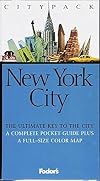
- Fodor's Citypack New York City's Best by Fodor's
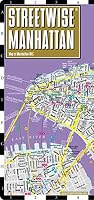
- Streetwise Manhattan Map - Laminated City Street Map of Manhattan, New York - Folding pocket size travel map with subway map, bus map by Michael E. Brown
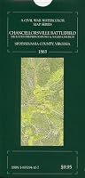
- Civil War Battles: The Maps of Jedediah Hotchkiss by Chester Hearn
- Tony Hillerman's Indian Country Map & Guide by Tony Hillerman
- Planimetric Base Map of Rio Jemez Drainage Basin (1981) by U. S. Dept. of the Interior Bureau of Indian Affairs
- Photo Base Map of Jemez Drainage Basin (1981) by U. S. Dept. of the Interior Bureau of Indian Affairs
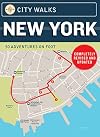
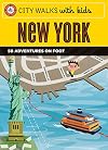
- City Walks: New York: 50 Adventures on Foot by Christina Henry de Tessan
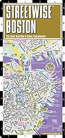
- City Walks, Boston : 50 Adventures on Foot by China Williams
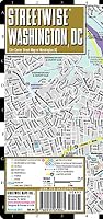
- City Walks: Washington, D.C.: 50 Adventures on Foot by China Williams
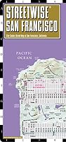
- Streetwise San Francisco by Streetwise Maps
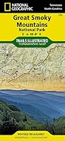
- Great Smoky Mountains National Park (Trails Illustrated Map) by National Geographic Maps
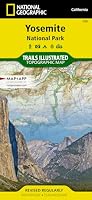
- Yosemite National Park (Trails Illustrated Map) by National Geographic Magazine
- An Hour from Paris by Annabel Simms
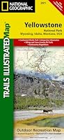
- Yellowstone National Park (Trails Illustrated Map) by Trails Illustrated
- Grand Teton National Park, Wyoming (Trails Illustrated Map) by National Geographic Maps
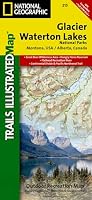
- Glacier and Waterton Lakes National Park (Trails Illustrated Map) by National Geographic Maps
- Bull Canyon: A Boatbuilder, a Writer and Other Wildlife by Lin Pardey
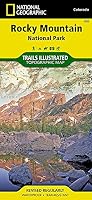
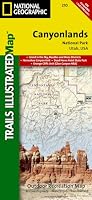
- Rocky Mountain National Park (Trails Illustrated Map) by Trails Illustrated