On This Page
Description
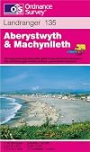
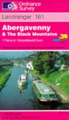
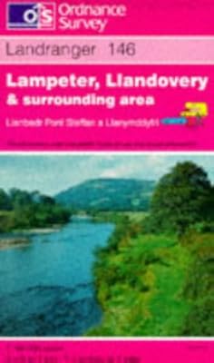
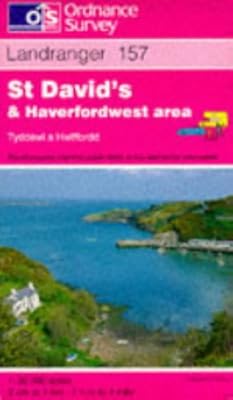
This map is part of the Landranger (Pink) series and is designed for people who really want to get to know an area. It includes the following information: tourist information, camping and caravan sites, picnic areas and viewpoints, selected places of interest and rights of way information for England and Wales. Each map in the series covers an area of 40 km by 40 km (25 miles by 25 miles) and like other Ordnance Survey maps, National Grid squares are provided so that any feature can be given show more a unique reference number. Perfect for planning ahead and local excursions, these maps are full of useful information that will help you really get to know an area. show lessTags
Recommendations


Member Reviews
Members
- Recently Added By
Author Information

2,168+ Works 20,317 Members
Series

Common Knowledge
- Canonical title
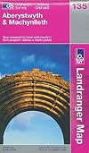
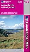
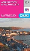
- Landranger Map 135: Aberystwyth and Machynlleth
- Important places
- Aberdyfi, Gwynedd, Wales, UK; Aberystwyth, Ceredigion, Wales, UK; Borth, Ceredigion, Wales, UK; Llanrhystud, Ceredigion, Wales, UK; Lledrod, Ceredigion, Wales, UK; Llyn Claerwen, Powys, Wales, UK (show all 11); Llyn Clywedog, Powys, Wales, UK; Machynlleth, Powys, Wales, UK; Pontrhydfendigaid, Ceredigion, Wales, UK; Pumlumon Fawr, Ceredigion, Wales, UK; Tywyn, Gwynedd, Wales, UK
Classifications
Statistics
- Members
- 53
- Popularity
- 572,419
- Reviews
- 1
- Rating
- (4.20)
- Languages
- English, Welsh
- ISBNs
- 7
- ASINs
- 1