On This Page
Description
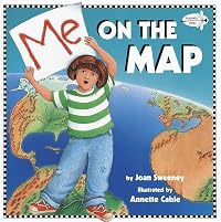
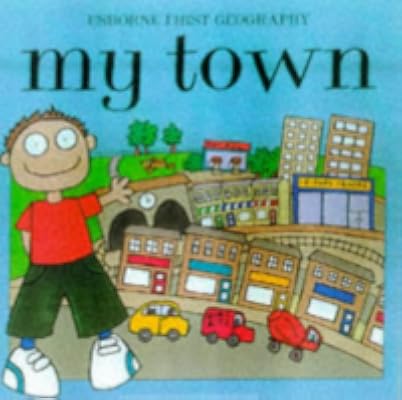
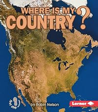
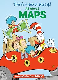
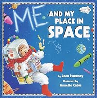
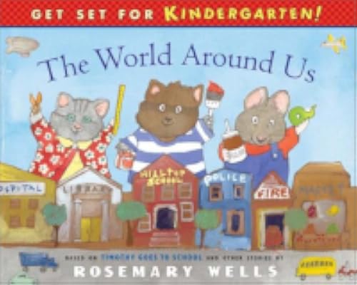
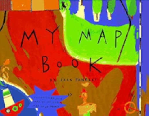
A child describes how her room, her house, her town, her state, and her country become part of a map of her world.Tags
Recommendations


Member Reviews
This was a very helpful book in rolling out state social studies standards on maps and where children live. The progression from smaller to bigger areas that can be mapped allowed for a guided classroom discussion of the students' own streets, neighborhoods, city, state, and country. The illustrations for supported the text and provided several different examples of important map features. The only drawback with the maps included in the book was that some of the maps had such detailed symbols that the maps did not look much different than the authors rendition of the real world in the book, and this led to some confusion with my students. Nonetheless, an excellent introduction to maps and where people live.
In this playful introduction to maps and geography, step by simple step, a young girl shows readers herself on a map of her room, her room on the map of her house, her house on the map of her street--all the way to her country on a map of the world.
This book is a fun introduction to maps and geography. Ayoung girl shows readers herself on a map of her room, her room on the map of her house, her house on the map of her street--all the way to her country on a map of the world. This book would be useful for a social studies class when introducing maps.
This is a great place to begin teaching what a map is and where you are in the world. It could also be a super place to show how to make your own map. The simple, direct text is reinforced by the cute, to-the-point illustrations. I would have loved to use a small group set of this book when I was teaching.
Before I begin, let me say that my students love maps. We started the year putting colored push-pins on a world map, to mark the different countries we are from. Later we did a Social Studies activity where we started off with a map of the continents. We then went to a map of the United States, then Louisiana, then Jefferson, and then finally a Google map of our school! I shared this book last Thursday, before beginning a lesson. The culminating activity was to complete a map (drawn and labeled by each student). We now have some awesome maps on our bulletin board. One child seemed to be copying the book, because he chose to draw his room. Another student pointed this out to me. I showed him how the end result was indeed very different show more from the little girl in the book. The student actually had three other kids sharing his room, and it was sort of empty with just a lot of kids in a bed and a baby playing on the floor. Other students made maps of their countries. One girl drew her grandma's backyard, with her grandma cooking pupusas outside on the comal. In my opinion, this book left much to be desired. However, my students loved it! show less
This is a great book for learning about the concept of location. In her book, author Joan Sweeney has a young girl show a map of her bedroom, which expands into a map of her house, her neighborhood, her town, her country, her continent, and ends up with a drawing of the world. Illustrator Annette Cable clearly demonstrates the differences between real places such as a bedroom and a map of the same bedroom. Sweeney's book teaches about symbols and may inspire students to draw their own maps!
A little girl takes the reader on a step-by-step journey through different level of maps, from the world map to a street map to a map of her own room. Through colorful and simple language, the book help children understand their place in the world and how the map can help them navigate and explore it.
Age: 3-5 years
Source: Pierce College Library
Age: 3-5 years
Source: Pierce College Library
Members
- Recently Added By
Lists

Lost ::: Mapping Tales for Kids
33 works; 2 members

Reading Rainbow
193 works; 10 members

Maps and Globes
16 works; 1 member
Author Information

Some Editions
Awards and Honors
Notable Lists
Series

Common Knowledge
- Canonical title
- Me on the Map
- Original publication date
- 1996
Classifications
- Genres
- Picture Books, Children's Books
- DDC/MDS
- 912.014 — History & geography Geography & travel Maps and plans of surface of earth and of extraterrestrial worlds modified standard subdivisions Philosophyand theory; map reading Map reading
- LCC
- GA130 .S885 — Geography, Anthropology and Recreation Mathematical geography. Cartography Mathematical geography. Cartography Cartography Map drawing, modeling, printing, reading, etc.
- BISAC
Statistics
- Members
- 2,585
- Popularity
- 7,314
- Reviews
- 24
- Rating
- (4.04)
- Languages
- English, Spanish
- Media
- Paper, Ebook
- ISBNs
- 22
- ASINs
- 12
